Results for ""
AI in Marine Industry 3 Min Read Oct 03, 2024
Researchers use AI model to identify marine biodiversity hotspots
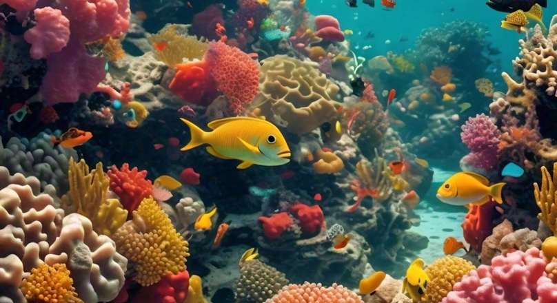
A new study led by staff from the Wildlife Conservation Society (WCS) in East Africa has used a predictive artificial intelligence (AI) algorithm to confirm the location of previously-unmapped high marine biodiversity areas along Mozambique's extensive coastline.
Leveraging satellite data on temperature, water quality, sediments, and ocean currents, researchers were able to identify a shortlist of environmental conditions that best support a high diversity of marine species. This breakthrough in biodiversity mapping comes as Mozambique continues its efforts to map both terrestrial and marine Key Biodiversity Areas (KBAs) and expand its network of marine protected areas. These efforts were previously hindered due to data scarcity for important underwater ecosystems in the country.
"Mozambique's extensive 2,450 km coastline makes fieldwork for identifying priority conservation areas both time-consuming and costly," said Hugo Costa, Marine Program Director for WCS Mozambique.
Predictive AI
"This new model enables WCS, conservation partners, and the Government to accelerate progress by highlighting coral reef hotspots for further investigation. These areas have the potential to become Key Biodiversity Areas or future protected areas, prioritized for protection and improved management”, says Hugo Costa.
The findings are a significant step forward for conservation in Mozambique, allowing researchers and government partners to move forward with fast and affordable precision identification of biodiversity hotspots. With the ability to refine predictions to smaller, locally relevant scales, the study helps to address potential conflicts between large protected areas and coastal communities, supporting Mozambique's national approach of co-creating conservation strategies with local communities and state agencies.
The study tested five AI models to predict marine biodiversity in Mozambique, comparing the results to a larger Western Indian Ocean model, which showed strong agreement. The findings will be applied to national conservation planning, particularly in identifying KBAs, while also guiding local efforts to protect smaller, high-priority areas in line with Mozambique's conservation strategies.
"As more satellite data becomes available and models are created, we are learning and becoming more confident in their predictive ability, their strengths and weaknesses," said Dr. McClanahan, the study's lead author and Director of Science for the WCS Global Marine Program.
"They may not be perfect but they are beginning to provide realistic solutions to large scale biodiversity and sustainable resource use problems—addressing the data deficit problem that plagues many important decisions that are begging for data-based solutions."


